We are bringing together our research, intelligence, analysis and data across the West Midlands. Having the right qualitative and quantitative evidence; consistent platforms and protocols for analysing, interrogating & visualising data; data held consistently and reliably enabling data to be used and reused; and data, digital, and technology professional skills enables us to generate insights and evidence.
As a part of our wider research ecosystem, we are making available data for partners and stakeholders to re-use.

WISE Data Profiler
View published metrics about the West Midlands over time and visualise them as a table, chart, or map

WISE Data Correlator
Compare and contrast any two metrics

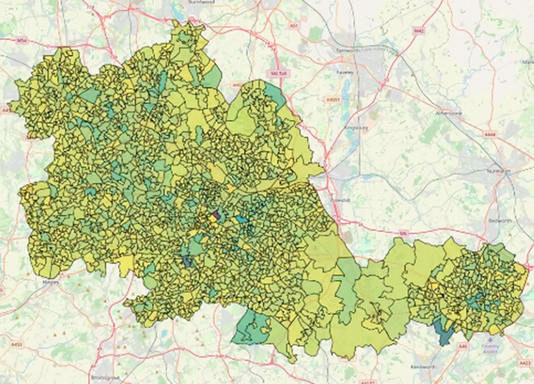
WISE Area and Ward Profiler
View published metrics at the ward and neighbourhood area geography

WISE Energy Room
Dashboard for displaying data in an interactive, table-top format
West Midlands Census Dashboard
Data from the 2021 United Kingdom census for the West Midlands
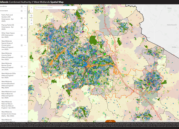
West Midlands Spatial Map
Spatial map of everything including boundaries, environment, transport, infrastructure, socioeconomic, land use, and economy in the West Midlands
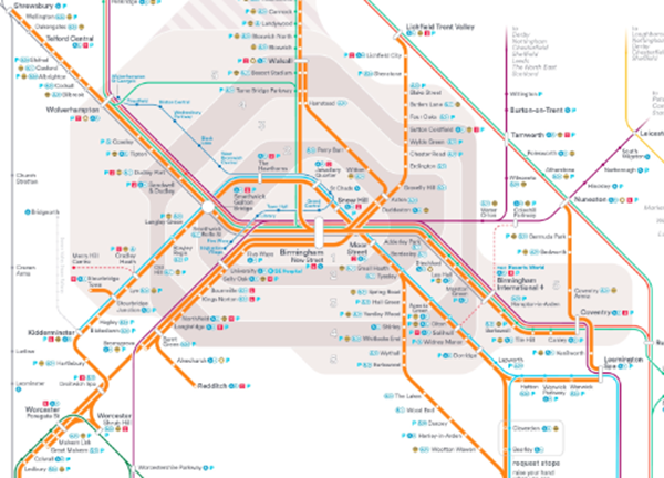
Transport for West Midlands
The "one-stop-shop" for data, tools, and services for Transport for West Midlands
Environment and Net Zero Dashboard
Latest environment and net zero data trends for the region

Employment, Skills, Health & Communities Insights
Data related to employment, skills, health & communities in the WMCA area
Air Quality in the West Midlands
Check live air quality data in your area and discover ways you can improve air quality and protect yourself and your community
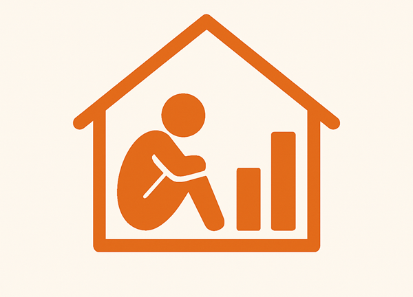
Homelessness Data
Explore homelessness data for the WMCA area

Creative West Midlands Profiler
Explore the explore the relationships influencing the creative engagement of West Midlands residents

Household Survey
Understand residents’ views and experiences, helping shape more informed, inclusive, and effective policies